09/05/2016
Hiking in Majorca
Majorca is well known for its lovely weather, magnificent beaches and great golf courses. What many don’t know however is that Majorca is a hikers paradise! Majorcas nature is very beautiful, and many who have hiked in Majorca have been pleasantly surprised by how versatile Majorca really is. It may sound like a cliché, but Majorca really does offer something for everyone.
For those interested especially in hiking the island offer many good possibilities, whether you are interested in hiking close to the coast, or something more challenging along the mountain range. In this week’s post we will tell you about one hiking trail which connects the two villages of Esporles and Banyalbufar.
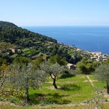
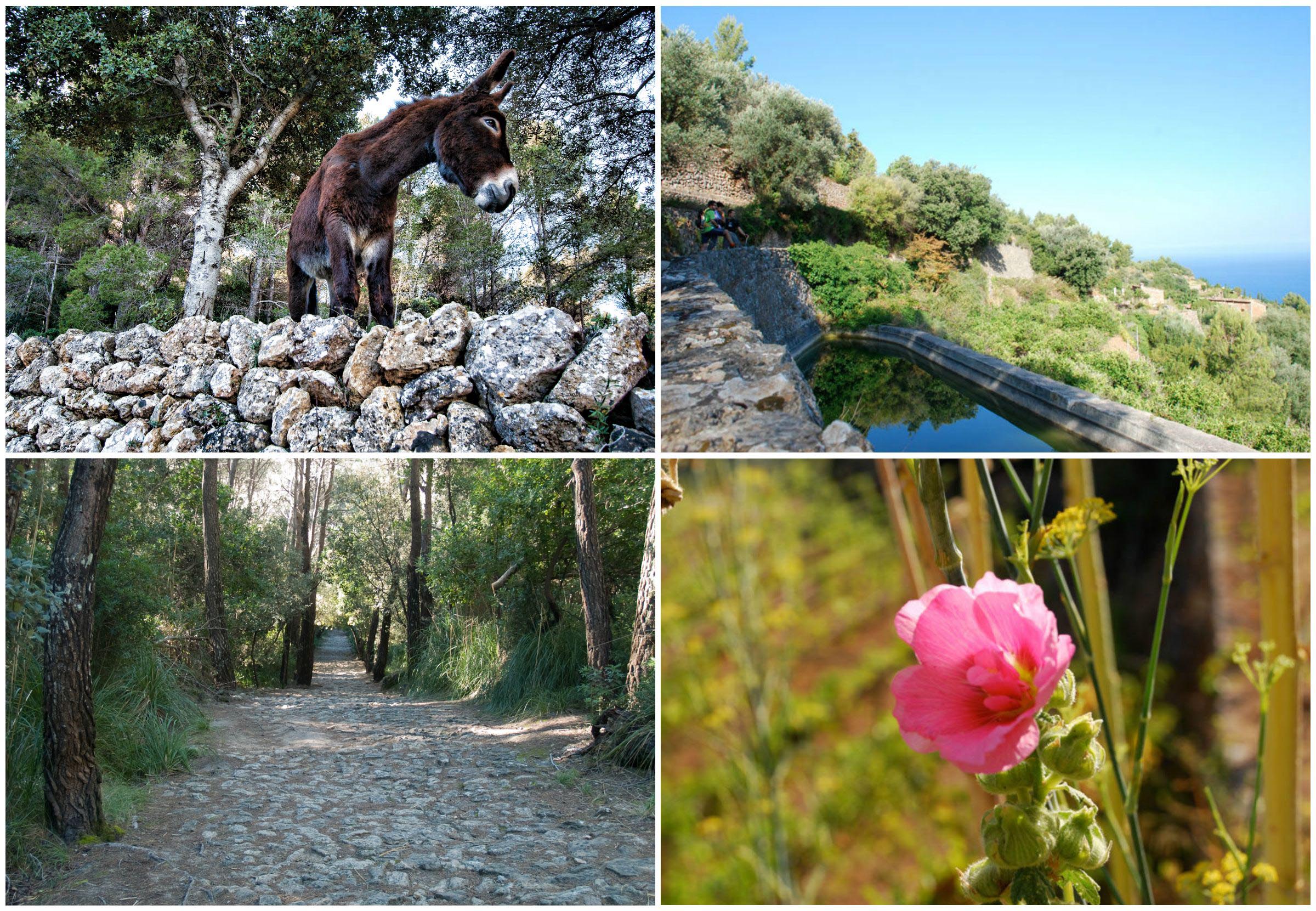
This old main road dates all the way back to the year of 1401, and passes through oak groves and offer magnificent views of the coastal line. The name of the hike, “Camí des Correu” translates to “the postal road”, which easily explains what the road was used for.

El Camí des Correu - Overview
Location: Southwest of the Sierra de Tramuntana
Nearest town: Esporles
Degree of difficulty: Medium
Total distance: 8.230 km
Total length: 2 hours and 15 minutes
Access: By bus line L200. Palma-Esporles-Banyalbufar-Estellencs. By private car, take the Valldemossa highway from Palma (Ma-110) and then Ma-1120.
Starting point: Esporles Church
Circular path: No
Maximum altitude: 454 m
Minimum altitude: 117 m
Grade: 700 m
Accumulated uphill grade: 316 m
Accumulated downhill grade: 384 m
Recommended season: All Year-round
Route
From Esporles to Banyalbufar – Camí des Correu

A: Esporles Church Distance 0.000 km - Time 0 hours - Altitude 180 m - N39 40'7.618" E2 34'38.819"
Take the church road up toward the coast of Sant Pere and after about 150 m, in a sharp curve, you will see the first sign for “Camí des Correu” indicated toward the left.
B: Esporles to Banyalbufar Highway (Ma-1100) Distance 0.933 km - Time 15 minutes - Altitude 225 m - N39 40'7.918" E2 34'4.962"
Cross the highway and continue parallel to it for 10 min., then, when you cross it again, this time to the left, the irregularly paved stone path gently rises and crosses two portholes.
C: Coll des Pi Distance 3.560 km - Time 1 hour and 15 minutes - Altitude 454 m - N39 40'38.459" E2 32'57.419"
The dense oak grove with numerous strawberry trees opens up toward the highest part of the route to afford you a glimpse of the north coast. A short time later the path begins to descend, narrows, crosses two dividing walls and reaches a cross-wise track.
D: S’Arbossar track crossroads Distance 5.820 km - Time 1:45 - Altitude 360 m - N39 40'55.379" E2 31'46.981"
Cross it in a straight line (heading north) and take the paved track that goes downhill surrounded by stone terraces and with excellent panoramic views of the coast.
E: Banyalbufar Distance 8.130 km - Time 2:15 - Altitude 110 m - N39 41'14.038" E2 30'49.499"
From the church, take the highway heading to Esporles for a few meters, and then turn onto the first perpendicular street to the left (Carrer Major). At the first junction, take the street to the left that passes by the Sa Coma hotel. Before you reach a large platform perched above the cliffs, turn right and go down the steps to the beach cove, passing by a waterwheel from the Arab period.


If after reading this you feel like coming to Majorca to enjoy the island and to play golf, have a look at our golf packages, or make your own flexible golf package!
And, if you still don’t find what you are looking for, just send us an email to sales@mallorcagolftours.com or give us a call on +44 (0)20 359 838 71 and we will be happy to help you!
Play golf, enjoy Majorca!
Can’t get enough of Majorca? Follow us on Instagram to see more of Majorca!